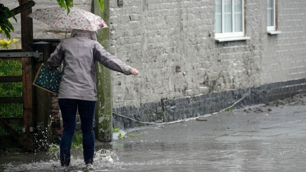
Over a month's rain in two days forecast for southern UK

- Published
More than a month's worth of rain could fall in two days in some parts of southern England and south Wales this week.
Met Office yellow severe weather warnings have been issued with flooding, transport disruption and power cuts possible.
With up to 100mm (4in) of rain expected in some of the wettest areas, it would be well over the whole of September's average rainfall.
This comes after a very dry August in southern parts of the United Kingdom.
Rainfall warnings
There is one Met Office yellow severe weather warning in force until 11:45pm on Thursday.
It covers south Wales and much of southern England.
Heavy showers will turn into more persistent rain through the day with around 20-40mm (around an inch) of rain falling within an hour or two.
While not everyone in the warning area will get the wettest weather, the Met Office says that a few places could see more than 50-60mm (around two inches), possibly up to 100mm (4in) over a longer period later in the day.
Average September rainfall across southern England and south Wales is around 60-90mm so it is quite possible that some places will get over a month's rainfall in a day.
There is a small chance homes or businesses could be flooded, and there could be some power cuts.
Travel disruption could also occur with unpleasant conditions on roads in particular.
Rain will continue into Friday.
Another yellow weather warning valid all day Friday covers similar parts of south Wales and southern England, when another 75-100mm (3-4in) of rain is possible.
The Met Office says: "This heavy rain follows on from an expected wet day across some similar areas on Thursday which will increase the likelihood of impacts."
Higher ground of south west England could experience some of the highest rainfall totals.
Yellow severe weather warnings valid through until the end of Friday for heavy rain.
What about a September heatwave?
There have been some media reports about a heatwave building in the UK.
Although there are hints of a slightly warmer than average September, there are no signs of any prolonged or extreme heat, and certainly no forecast of another record-breaking September heatwave like we saw last year.
In fact, across southern areas, the unsettled weather is likely to continue into the weekend with further spells of heavy rain.
However, in the north, it's going to be drier and warmer.
In western Scotland, the temperature could reach 25C on Friday, the first time since 18 May when Glasgow reached 25.3C
Throughout the summer there have been several instances where the temperature has been just short of 25C.
Nowhere is expected to have temperatures exceeding heatwave thresholds in the short term.
Beyond the weekend, there are some indications from computer models that higher pressure is more likely, which would bring some spells of settled weather to the UK.
But cooler, wetter interludes are also possible at times, especially in the south. Temperature trends are for slightly warmer than average conditions but there are no signs of any prolonged or extreme heat.
Keep up with the latest long range forecast in our monthly outlook.
The forecast does show more settled weather, especially in the northern half of the UK, over the next few days
- Published4 September
- Published2 September