UK hot spell coming to an end

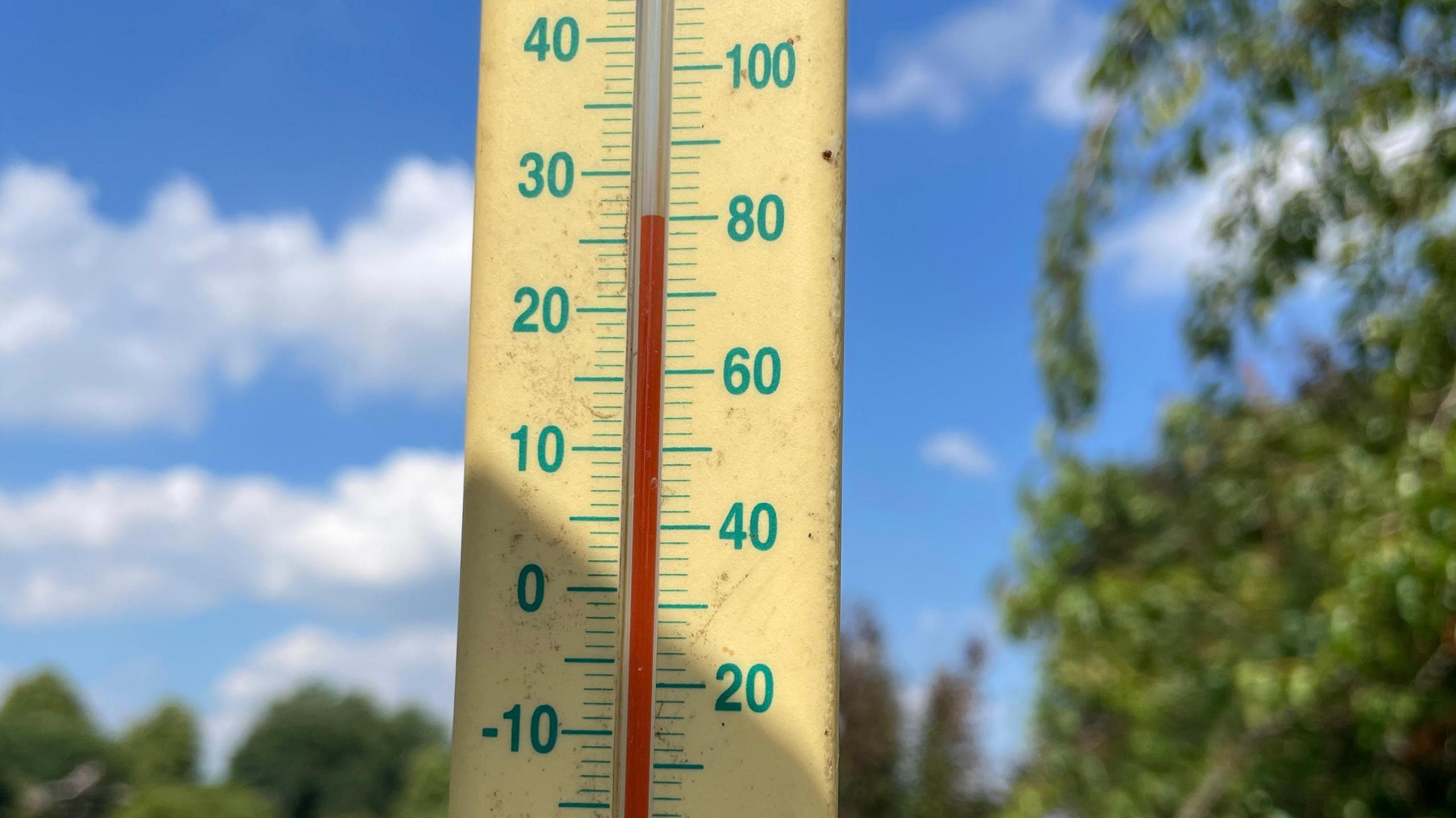
Thermometers have been climbing this week with some spots reaching 30C
- Published
It looks like some parts of the UK have officially had a heatwave - with temperatures as high as 30C.
Some areas of south-east England have exceeded 28C for the last few days - meeting the Met Office's technical definition of a heatwave. Yellow heat-health warnings have been in force across large parts of England.
The warmth has been widespread with all four UK nations seeing their highest temperatures of the year so far.
But the heat is proving to be short-lived. Changes are already taking place that will bring a significant cooldown over the next few days.
A fickle jet stream
For the first half of June the jet stream tracked southwards leaving the UK in unseasonably cool air, with temperatures a couple of degrees below the seasonal norm.
But over the last few days the jet has shifted to the north of us allowing warm and humid conditions to surge across our shores - lifting temperatures above the June average by day and night.
Nearly all parts of the country saw one or two very warm days and for a few the heat extended across three consecutive days, meeting the criteria for a heatwave.
The Met Office defines a heatwave as three consecutive days with temperatures above a certain threshold
- Published17 May 2023
- Published26 October 2020
Now the jet stream is on the move again, sinking southwards and sending an unusually deep area of low pressure for the time of year towards Scotland and Northern Ireland on Thursday.
This will bring outbreaks of rain and strong winds with gusts of up to 50mph in places. It might feel as if summer has suddenly turned into autumn!
Further south, there will be less rain and it won't be as windy - but it will turn cooler for all of us.
Does this mean a washout Glastonbury?
Festival-goers need not despair.
Many places - including Glastonbury - can expect largely dry conditions this weekend, albeit with lower temperatures.
A few showers are possible but when the sun shines it will still be strong, so perhaps it might be worth leaving the wellies at home and packing the sunscreen instead.
Daytime highs will reach around 20C with overnight lows dropping to 10 or 11C which should be quite comfortable for anyone sleeping under canvas.
Festival-goers had a hot arrival at Glastonbury on Wednesday but the next few days look much cooler
Elsewhere across the UK there will be a lot of dry weather over the weekend with the best of the sunshine likely in southern England and south-east Wales.
A little rain is expected, most notably in northern England, Northern Ireland and Scotland - but it will be far from a washout.
If you are making plans for the weekend you can always keep up to speed with the forecast with łÉČËżěĘÖ Weather online or on the app.
Will the heat return?
You probably don't need me to tell you that it was a cool start to June and for the first half of the month temperatures were running well below the seasonal norm.
But the recent warm days and nights have reversed that cool trend and overall this month may actually end up being slightly warmer than average - although it is unlikely to be a record breaker.
Widespread heat looks unlikely to return for the start of July
Looking further ahead, there are no strong signals from computer weather models of any widespread heat returning in early July.
Mixed weather is likely with some rain, especially in the north of the UK where it may also be rather windy. Further south high pressure is likely to have more of an influence so some lengthy dry spells are likely. And at this time of year it will always feel warm in any sunshine.
There is still plenty of summer ahead of us though - so there is certainly the opportunity for warmth to return.
- Published3 days ago
- Published30 July