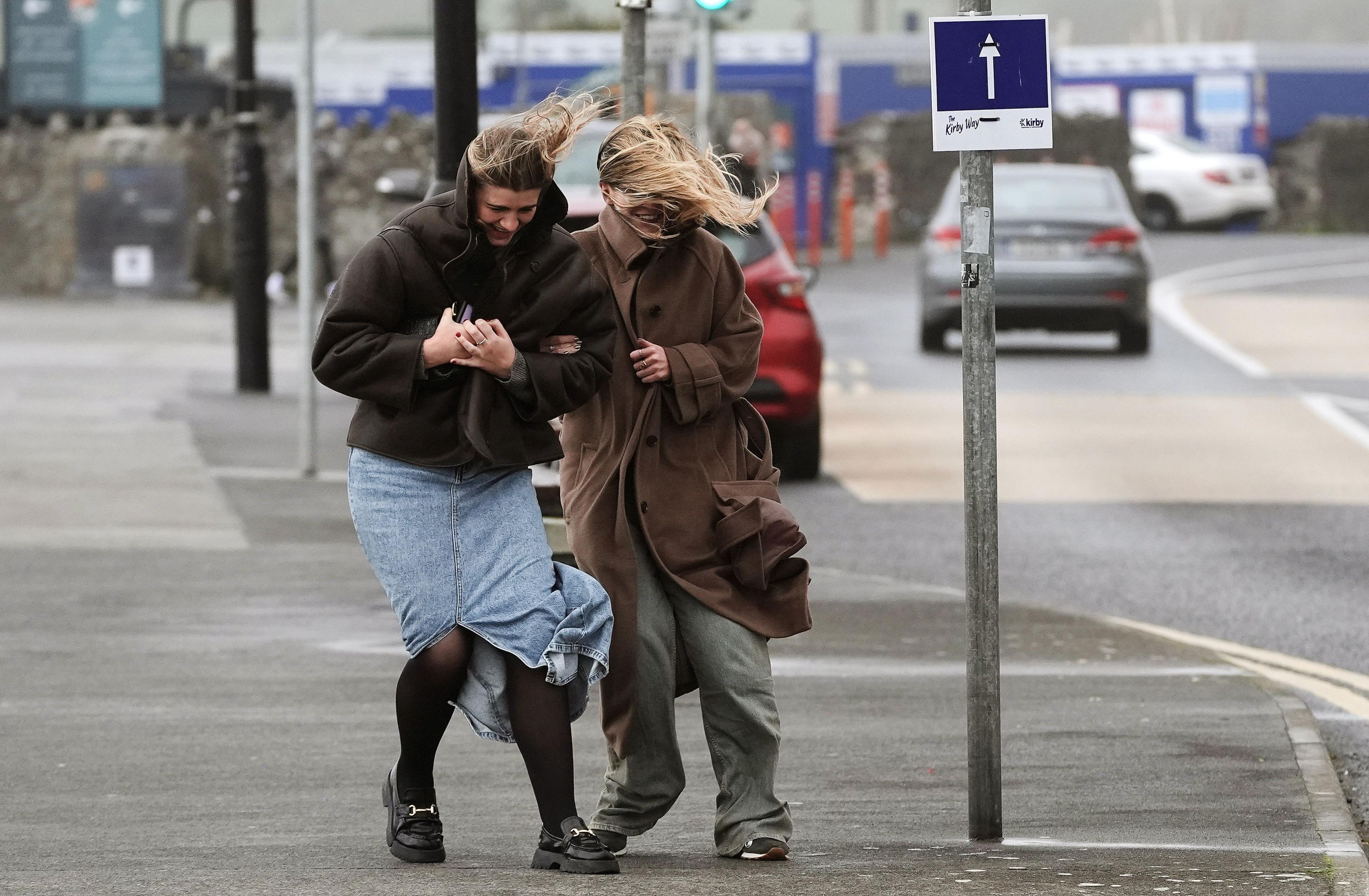
Storm names 2024-25: How do storms like Bert get their names?

- Published
Storm Bert, which was named by Ireland's Met Éireann on Thursday, is the second named storm of the 2024/25 season.
The list of storm names is announced on 1 September each year and runs in alphabetical order, starting this season with Ashley, followed by Bert, then Conall, and later on possibly reaching as far as Izzy, Rafi and Tilly.
Storms are named by the UK Met Office, Met Éireann or the Netherlands' KNMI when they are forecast to cause "medium" or "high" impacts.
Why are storms named?
Met Office Head of Situational Awareness Will Lang, who leads responses in times of severe weather, said: "This is the 10th year of us naming storms and we do it because it works. Naming storms helps to make communication of severe weather easier and provides clarity."
Wind is the main factor for naming a storm, but sometimes rain or snow are taken in to account as part of the process.
Names are selected from a shortlist of favourites submitted by the public but also includes three historic names from the Met Office’s 170 year history.
You may notice a few Dutch names too after KNMI, the national weather service of the Netherlands, became part of the western storm naming group in 2019.
The list runs from the start of September to the end of August the following year to coincide with the start of autumn and the end of summer, when the likelihood of low pressure systems and the potential for named storms increase.
Why are there no storms for Q, U, X, Y and Z?
The list of storm names covers only 21 letters of the alphabet, to maintain consistency with the naming of tropical storms and hurricanes in the North Atlantic by the US National Hurricane Center.
This is because the National Hurricane Center produces six lists of storm names that are used in rotation and it is difficult to find six suitable names (one for each list) starting with Q, U, X, Y and Z.
So, if you are called Quentin, Ursula, Xavier, Yvonne or Zendaya you will never see your name on the list of storms.
- Published17 October
How many storms were named in winter 2023/2024?
A wet and windy autumn and winter contributed to 12 named storms in 2023/24. It is the highest number since the naming of storms started in 2015.
In recent years the UK has seen frequent periods of the jet stream either being directed towards the UK or to the south of the UK and this helped develop and steer low pressure systems to our shores which sometimes became named storms.
But no two years tend to be the same.
One of the challenges for forecasters comes from the natural variability in our weather patterns. In the 2022/23 season there were only two named storms and they both occurred in August.
And sometimes, storms can come in clusters. In February 2022 there were three storms in a week - Dudley, Eunice and Franklin. A Met Office red wind warning was issued for Storm Eunice. The winds gusted to 122mph (196km/h) on the Isle of Wight - England’s highest recorded gust speed.
- Published3 days ago
Does climate change impact UK storms?
We know climate change is making our weather more extreme so that when it rains, that rain tends to be heavier with a greater chance of causing flooding.
It is more difficult to link storms to climate change.
The UK has a history of impactful storms stretching back hundreds of years, long before the introduction of named storms in 2015.
Met Office scientist Emily Carlisle says: "There is some evidence that storms with strong winds (windstorms) will become slightly more frequent in the future in north-west Europe and also become more clustered, so that we experience several storms one after the other."
Scientists are more confident that the coastal impacts of windstorms, from storm surges and high waves, will worsen as the sea level rises.
- Published3 days ago
- Published14 November
- Published9 October