Rights of way
Understanding the different way paths are marked on maps and what they mean.
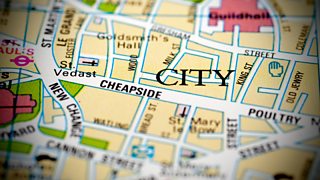
Joe Crowley explains that maps can provide clues about how walkers can use public rights of way to navigate routes. Paths marked by green lines are public rights of way open to everyone. They can even run through private property. Footpaths are marked by closely dashed green lines – these are restricted to walkers. Bridleways, which are marked by longer dashed green lines, permit horse riders and cyclists. Restricted byways allow people to travel by any form of transport that does not have a motor.
Another set of paths commonly found on maps are marked in orange and these are permissive rights of way. They mean that a landowner has granted access to use the path in some circumstances. The access can be withdrawn at any time. Some areas are known as right to roam areas – paths can be marked here with black dotted lines. Access land has a yellow tint and is marked by an orange boundary. Sometimes restrictions are placed on access land and information can usually be found on noticeboards.
Duration:
This clip is from
More clips from Get Lost
-
![]()
Navigational challenge - reading maps on the coast
Duration: 09:11
-
![]()
Navigational challenge - reading maps on the moors
Duration: 09:37
-
![]()
Navigational challenge - reading maps in the hills
Duration: 10:44
-
![]()
Understanding contour lines
Duration: 01:42