Navigational challenge - reading maps on the coast
Three young people learn how to read a map to complete a navigational challenge on the Yorkshire coast.
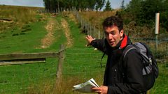
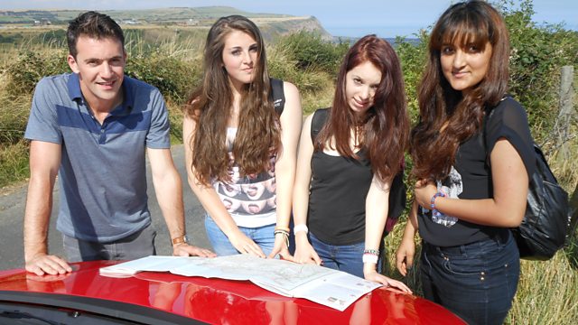
Joe Crowley helps three young people who have little or no map reading skills complete a navigational challenge. Three teenagers are taken out into a mystery location in the Yorkshire countryside. Their first task is to locate their position. Using a combination of observational skills and map symbols and features, Abi, Irum and Sarah discover where they are. Joe asks them to navigate to a meeting point a few kilometres away. Joe points out an approximate route, but the teenagers must use their initiative and the map to find their way.
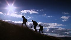
The clip explains map reading techniques like latitude and longitude, as well as map features like path markings. A heli-camera flies above the teenagers so that map features can be related to the landscape. The girls encounter a steep gradient on a cliff path. Contour lines are explained and illustrated. The teenagers pass ancient sites which they see on the map legend. They meet Joe at a radio mast, having successfully navigated their way there.
Joe explains how a location can be double checked using co-ordinates and a smart phone. Abi, Irum and Sarah continue their journey on a cliff top path and the clip explains how contour markings change to indicate cliffs. Entering a village, the teenagers relate their position to houses and other buildings marked on the map. The young people complete their challenge by meeting Joe in a seaside village. They tell him what they have learned.
Duration:
This clip is from
More clips from Get Lost
-
![]()
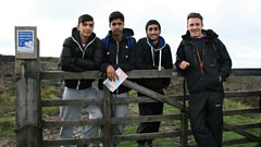
Navigational challenge - reading maps on the moors
Duration: 09:37
-
![]()
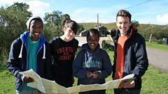
Navigational challenge - reading maps in the hills
Duration: 10:44
-
![]()
Rights of way
Duration: 02:27
-
![]()
Understanding contour lines
Duration: 01:42