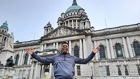
Rhys: In the UK there’s one thing we love talking about and that’s the weather, we’re a bit obsessed with it!This is the Armagh Observatory in Northern Ireland and they’ve been measuring the weather here every day for over 200 years. And today, they’re letting me have a go…
We can measure the weather in lots of different ways like using a thermometer to check the temperature.
Digital thermometer says ‘2.4 degrees’. It’s quite chilly. Alcohol thermometer 2.4 as well, alright.
Later, locals Kyla and Diarmuid are joining me at the Observatory to find out about the impact of climate change on our weather. But first… Let’s zoom out…
We’re here in Armagh, in Northern Ireland, where it’s often windy and it rains a lot. This is partly because the island of Ireland sits beside the Atlantic Ocean and is the first land where storms can break. Whereas in Kent, in the south-east of England, it’s usually drier and warmer.
The weather can be different across the UK due to factors like how far a place is from the coast, or how high above sea level it is, which is called altitude.
Weather is the day to day conditions of a certain area, for example if it’s sunny or rainy.
Climate is the average conditions and weather patterns of a place over a long period of time, usually 30 years. This red line represents the Equator. It’s an imaginary line that runs around the middle of the Earth which is always closest to the sun.A lot of places near the equator like Jamaica have a tropical climate which means it’s very hot and wet.
At the top and bottom of the earth, where it’s far away from the equator, there’s a polar climate which means it’s very cold.The UK is in between these two extremes and so has what we call a ‘temperate climate’, where we experience four distinct seasons, spring, summer, autumn and winter.
Kyla and Diarmuid have joined me at the observatory. We’re making kites to take outside and test how windy it is.
Push it down. Nice.
Child: Finished!
Rhys: What do you think of the weather today guys?
Child: It’s been like snowy to like rain to sun now to like mild.
Rhys: Yeah you’re right, the weather’s been all over the place today. Ok so big question here, do you know what Climate change is?
Child: I think climate change is referring to global warming and global warming is when the earth is getting heated up and that makes the polar ice caps melt.
Rhys: Yes, spot on. Human activities like burning fossil fuels, like oil and gas, this releases carbon dioxide into the atmosphere, and what this does is traps more of the sun’s heat, causing what we call the greenhouse effect. As a result, the earth’s temperature rises and the weather becomes more unpredictable and extreme.
Do you know any types of extreme weather?
Children: Blizzard and hurricane. / Heatwave and a drought.
Rhys: Yes, great examples. And these can also have disastrous effects on communities like flooding and wildfires. Although extreme weather is on the rise, we’re also able to prepare and protect ourselves better through technology and research.
Ok, time to compare… The rainiest country in the UK is Scotland, with an average of one thousand five hundred and seventy four (1574) millimetres of rainfall per year. One of the rainiest countries in the world is Columbia in South America, with an average of two thousand six hundred and twenty eight (2628) millimetres of rain per year.
What’s the weather like in your area? Why not have a go at creating your own weather diary, recording the different weather each day.
Zoom in and have a look for yourself!
Ok guys, let’s fly these kites!
Video summary
Rhys is in Northern Ireland to find out what factors influence the weather and the difference between weather and climate.
Rhys explains that the weather can be different across the UK due to factors like how far a place is from the coast, or how high above sea level it is. He also describes the difference between ‘weather’ and ‘climate’, and how climate is affected by a region’s proximity to the Equator.
Locals Kyla and Diarmuid join Rhys at the observatory to make and fly kites. The three of them talk about the impact of climate change on our weather, and discuss some examples of extreme weather.
Teacher Notes
Questions to consider:
- What is weather? And what different types of weather can you think of, and describe?
- What affects the weather?
- How can we measure the weather?
- What’s your favourite type of weather, and why?
- How does the weather affect your life, what you can do, and where you can go?
- Can you think of different jobs or industries that are affected by the weather? For example, farmers rely on a good balance of rain and sun for crop growth.
- What is the difference between weather and climate?
- What kind of climate would you like to live in?
- What is climate?
- What affects the climate of an area?
- What is the equator, and how does it affect climate?
- What is climate change, and how does it affect the weather?
- What are some examples of extreme weather?
- How do you feel about climate change and its effects?
Suggested activities to further explore learning:
1. Weather chart:
Pupils could take on Rhys’ challenge and find out what the weather is like in their local area by creating their own weather diary, recording the different weather each day for a week:
- Draw a chart with a column for the days of the week, with each day (Monday-Sunday) written on a separate row. In another column write ‘weather’. Each day, pupils can draw symbols in the ‘weather’ column to document what the weather was like that day - for example, a cloud symbol, a sun, or raindrops.
- You could be as specific as you like – recording the weather just once a day, or perhaps in both the morning and evening, or even every hour.
- If your school (or pupil’s home) has a thermometer, you could also record the temperature each day at a specific time of day.
- The rainfall could also be measured simply by placing a beaker outside and measuring the amount of water that fills it each day.
- A rough measure, for comparison’s sake, of cloud cover can be made by noting down the percentage of the sky that is cloudy: the same location should be used each day.
- Finally the amount of wind can also be easily measured, using bubble mixture to create bubbles and timing how long the bubbles take to drift across a metre of ground (if they just drop then there is no, or very little wind).
2. Cloud creations:
When it comes to clouds, there are four main different types: cumulus, cirrus, stratus, and nimbus. Pupils could use cotton wool, glue, and grey paint/felt-tip pens to create each type of cloud. Then may then stick them down on a large piece of paper with name and description labels:
- Cirrus clouds - look like wispy feathers or tufts of hair. In the daytime they are whiter than any other cloud in the sky.
- Cumulus clouds – puffy and fluffy. Often with a white top and a darker bottom.
- Stratus clouds – flat sheets which are usually low-level and form near to the ground.
- Nimbus clouds – what we call clouds when there is rain or snow falling out of them. They are often dark grey.
Having created a key, pupils could take their creations outside to help them spot the different types of clouds they can see in the sky. They could see whether they could take photographs of the different types and even keep a track of how many times, and on which days, they see each type of cloud to see if there is a pattern.
| Key terminology | What it means |
|---|---|
| Carbon dioxide | Otherwise known as CO2. It’s a greenhouse gas that’s linked to global warming. |
| Climate | The average conditions and weather patterns of a place over a long period of time, usually 30 years. |
| Climate change | The process of our planet getting warmer, otherwise known as global warming, caused by human activities such as burning fossil fuels like oil and gas. |
| Equator | An imaginary line that runs around the middle of the Earth which is always closest to the sun. A lot of places near the equator have a tropical climate which means it’s very hot and wet. Places furthest away from the equator have a polar climate which means it’s very cold. |
| Extreme weather | Unusual, bad weather that can have disastrous effects on communities like flooding and wildfires. Examples of extreme weather include blizzards, hurricanes, heatwaves and droughts. |
| Flooding | The overflow of water onto land that is usually dry. |
| Greenhouse gas | Gas that traps and absorbs heat radiated from the earth, and rather than releasing it into space, keeps our planet warm and contributes to global warming |
| Pollution | When the environment is harmed or dirtied by waste or chemicals. There are three main forms of pollution: air, water, and land, although in cities noise pollution can also be impactful. |
| Temperate climate | Areas of the planet characterised by mild temperatures that lack extremes - the UK climate would be classified as temperate. |
| Tropics | The region of Earth surrounding the Equator. The Tropic of Cancer is the Northern boundary and the Tropic of Capricorn is the Southern one. |
| Weather | The day to day conditions of a certain area, for example if it’s sunny or rainy. |
Suitable for teaching geography at KS2 in England, Wales and Northern Ireland, and 2nd level in Scotland.
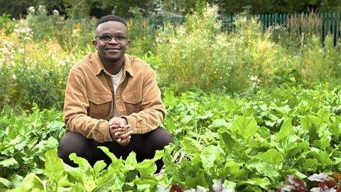
Food, farming and agriculture. video
Exploring farming and agriculture - a key UK industry. Includes arable, pastoral and mixed farming and examples of rural and urban farms.
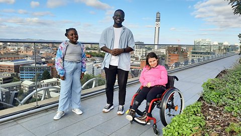
Urban settlements - living in a city or megacity. video
Exploring key aspects of cities and megacities - building use, population density, environmental impact and sustainable choices.
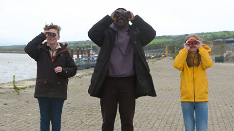
Coasts and sustainable use of natural resources. video
Examining a coastal region of North Wales, including a local wind farm and examples of the sustainable use of natural resources.
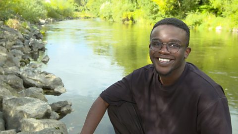
Rivers - the course of a river from source to mouth. video
Exploring the key aspects of rivers - the source, tributaries, streams, meanders, ox-bow lakes, river mouth and estuary.
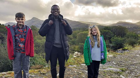
Mountains - how tectonic plates create mountain ranges. video
Exploring how tectonic plate movement creates mountains where the plates collide and single peaks formed by volcanoes.
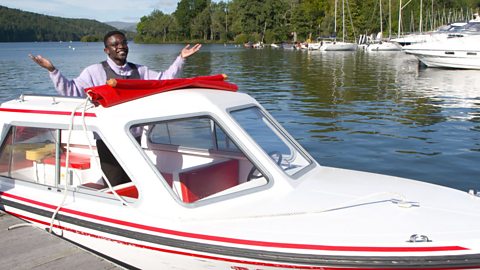
Lakes, lochs, reservoirs and the water cycle. video
Visiting Lake Windermere to consider lakes, lochs and reservoirs and their place in the water cycle.
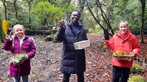
Forests - deciduous and coniferous woodland and biodivsity. video
Exploring a forest region in the Lake District to discover the rich biodiversity of woodland habitats.
Shore, coast and ocean. video
Visiting a marine reserve in Scotland to discover the biodiverse habitat it offers, but also the importance of conservation.
Peatlands, wetlands and the carbon cycle. video
Exploring the significance of peatland and wetland habitats to store water and absorb carbon or CO2.
UK settlements and navigating using maps. video
Exploring the different types of settlement in the UK - including villages, towns and cities - and how to navigate using maps, including symbols, compass points and co-ordinates.
Tourism. video
Considering the reasons for tourism and both the positive and negative impact it can have on local communities.
