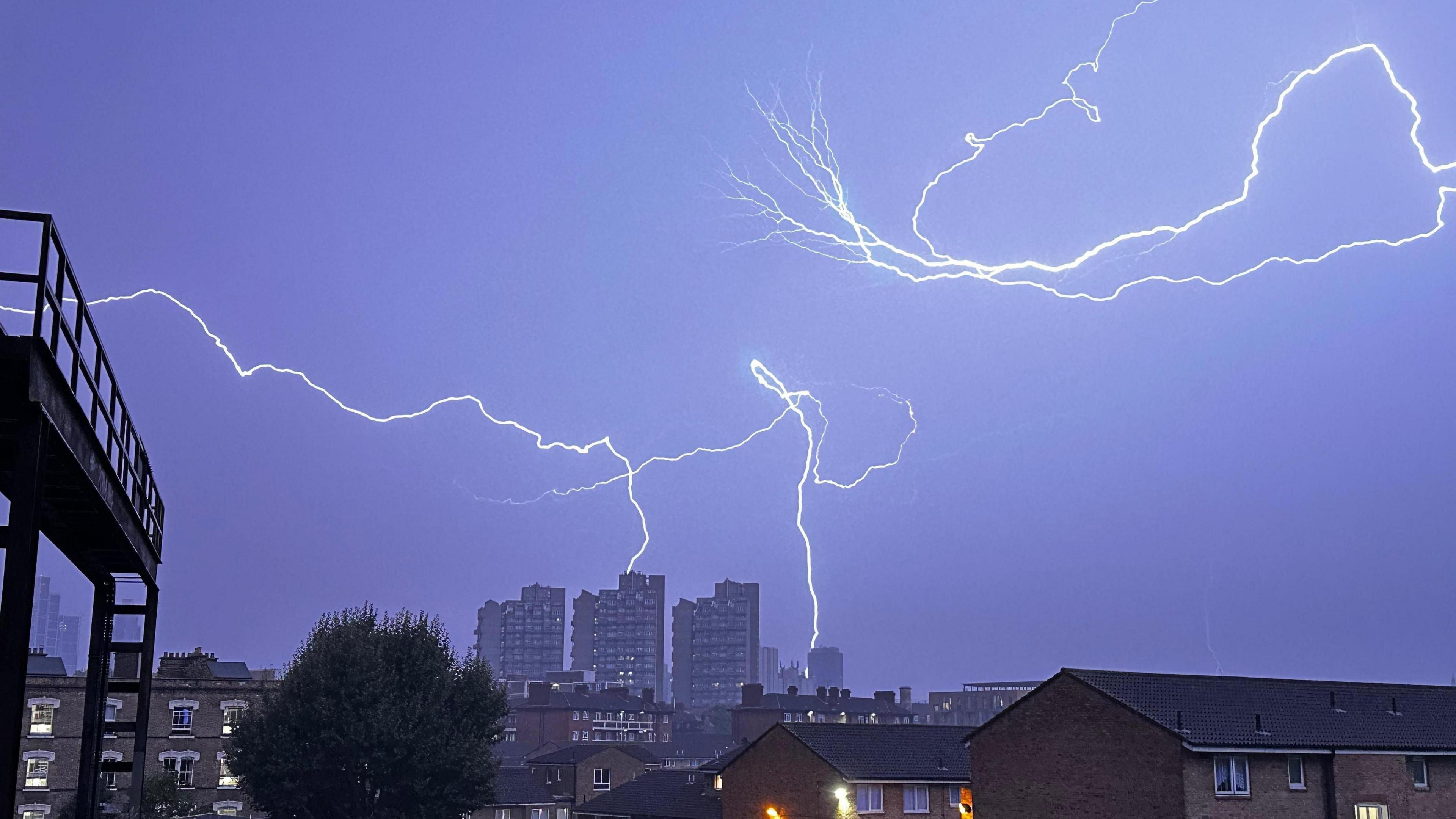
Thunderstorm warning ends summer's last hurrah

Buildings could be damaged by lightning strikes, the Met Office says
- Published
Two yellow weather warnings for thunderstorms have been issued, ending a spell of warm weather.
The warnings begin on Friday afternoon and last nearly all of Saturday in parts of Wales and southern England.
As well as the risk of lightning strikes damaging buildings, the worst affected areas could see as much as 70mm (2.8in) of rain, bringing the possibility of flooding and transport disruption.
It comes after a week of warm and sunny weather in parts of the UK, with temperatures widely reaching the low to mid-20s in Celsius.
The weather service warned hail and frequent lightning could accompany the "thunderstorms and heavy showers".
- Published20 September
- Published1 September
- Published28 December 2023
The first yellow warning is from noon until 22:00 BST, affecting most of south and mid Wales, as well as the south-west England and the Midlands.
The second warning is in place all of Saturday from 01:00 and covers all of Wales and south-west England, the Midlands, as well as parts of south-east England.
A third yellow weather warning, for rain, is in place all day on Sunday with the forecaster saying spray and flooding could cause problems on the roads.
Met Office meteorologist Dan Stroud said: "We are being spoiled by almost summer's last hurrah, but there's a bit of a change coming down the line as we move our way through towards Friday, and especially the weekend."
A "gentle decline" in temperature is expected over the weekend, with highs of 24C forecast for East Anglia on Saturday followed by low 20s in the area on Sunday, he added.
As of 17 September, the UK had seen an average 49.5mm of rainfall this month - which is typical for this time of year, Mr Stroud said.
Successive bands of rain and normal conditions for autumn are expected next week, he added.