Arctic airflow sees average temperatures plummet in NI

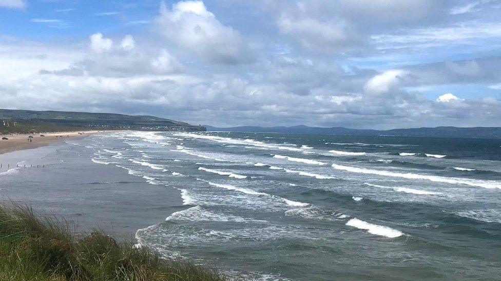
A chilly Portstewart Strand
- Published
Temperatures have been well below average both by day and night in Northern Ireland as we approach half way through June.
The current mean maximum temperature for the month is 14.4C across Northern Ireland.
That is nearly three degrees below the average.
Night-time temperatures have also been almost two degrees below the average, which is why some of us are still lighting a fire in the house.
Flaming June?
The expression "Flaming June" is not connected with the weather - it's the title of a painting of a woman in an orange dress sleeping under a canopy in the summer heat by Sir FrÃĐdÃĐric Leighton.
It does conjure up the feeling of tropical warmth and that has certainly been missing so far this June.
The month might be more aptly named "Freezing Juneâ.
Temperatures have been affected by a persistent northerly airflow originating close to the Arctic region and there has been an added wind chill.
On 1 June temperatures soared to 22.3C at Killowen in County Down.
This was not a trend that continued and for most of this month temperatures have been well below the long-term average of 17.2C.
Will it warm up for the second half of the month?
Not in the short term.
The weather will continue cool and unsettled with temperatures below par.
The longer-term weather models suggest that high pressure to the south west over the Azores may push northwards bringing warmer air north too.
This would also lead to a spell of more settled weather.
The tricky bit is how far north it gets and whether it can displace the cool section of the Jetstream, where we currently are, far enough north to impact Northern Ireland.